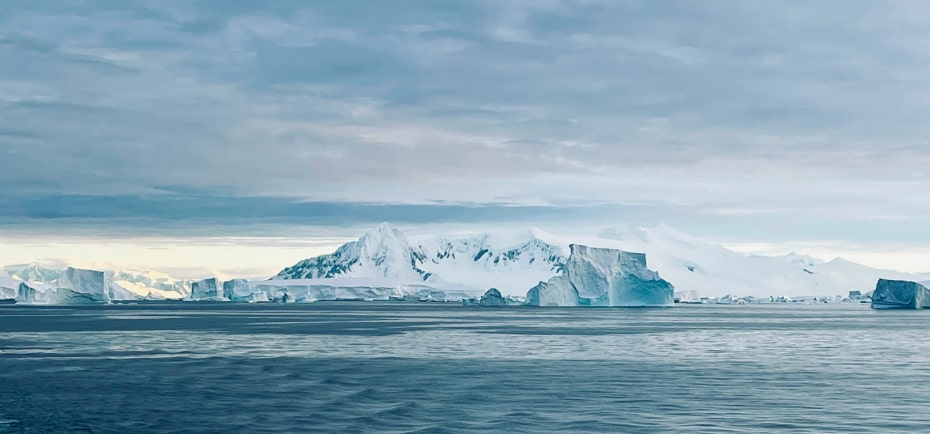
Sometimes unexpected opportunities appear that you simply have to run with because you know that you may never get another chance. I had the unique opportunity to travel south to Antarctica as a visiting scientist on board the National Geographic Resolution.(Fig 1).
This opportunity evolved from the ongoing volcanic research I have been doing in the South Sandwich Islands in partnership with National Geographic; investigating the volcanic influence on local air and water quality in these sub-Antarctic islands naturally evolved into questions around the long-range transport of natural and anthropogenic pollutants to the Antarctic continent itself. Alongside my research project, I also had a role within the expedition team enabling guests on board the ship to experience this unique and remote place safely and respectfully. Throughout the voyage I couldn’t help but reflect on the continuous dynamic decision-making that goes into any remote expedition.

We departed from Ushuaia at the southernmost region of Argentina, one of the windiest places in the world. Our goal was to reach as far south as, deep beneath the Antarctic Circle at 68’ 40’ S where the sun never truly sets (Fig 2). To reach the Antarctic Peninsula we needed to cross the infamous Drake Passage over several days, a passage known for ferocious weather and large ocean swells. Few places in the world require such careful planning for vessels to make the crossing safely; you must time your departure at exactly the right time or you risk being caught out in extremely rough conditions in the middle of the crossing where you are most exposed. Although in a much larger ship than my recent Southern Ocean expeditions in a 22-metre sailing yacht, still the forecasts were crucial in the days and hours up to setting sail. In the end, we were forced to delay our departure by several hours because the winds were too strong to safely negotiate leaving the harbour. When it comes to risk, often the patience to wait for the right conditions can mean the difference between success and disaster.
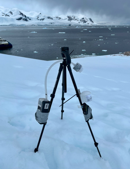
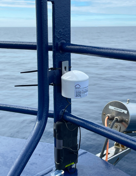
My research on this expedition focused on quantifying air quality in the Antarctic atmosphere. Specifically, I was interested in whether long-range transport of metal pollutants (e.g. copper, lead, tin) from lower latitudes is reaching the pristine Antarctic continent in measurable quantities, and the extent to which this is influenced by changing meteorology or by global scale climate modes such as the ENSO state. I deployed many of the same sensors and sampling devices that I use at volcanoes to monitor air pollution during volcanic eruptions. One sensor called a PurpleAir (Fig. 3a) was mounted permanently on the ship and was live streaming air quality data, in the form of particle concentrations, to an open-access web platform that anyone in the world can view and download data from (https://map.purpleair.com). This is part of a global citizen science programme to make air quality data accessible and transparent. In the future, my goal is to have these low-cost sensors mounted on board as many ships heading down to the Antarctic Peninsula as possible, to collect spatially widespread datasets throughout whole seasons.
The second instrument was a sampling device called a filter pack, this was deployed every time we landed ashore and involves pumping ambient air through a series of filters over several hours. Any particle pollutants present in the atmosphere will collect on these filters (Fig. 3b), which I will now bring back to the lab, dissolve, and analyse for their chemistry. The chemical fingerprint will help to resolve the source of the particles, and more importantly whether they are likely to be natural or anthropogenic in origin, as different pollution sources typically release a distinct cocktail of trace elements—even different types of volcanoes emit quite distinct suites of elements. I will also be using back-trajectory weather models to trace the source of the air masses that I was sampling through the expedition; this approach uses recorded weather data (predominantly wind direction and velocity as a function of altitude) to track the position of a “parcel” of air back in time starting from the time and position of sampling. This modelling will highlight large-scale air mass movements that I can relate to any detected changes in particle chemistry, particularly whether the air I was sampling had originated from the Pacific or Atlantic ocean basin and whether it had subsequently interacted with the South American landmass en route to the Antarctic.
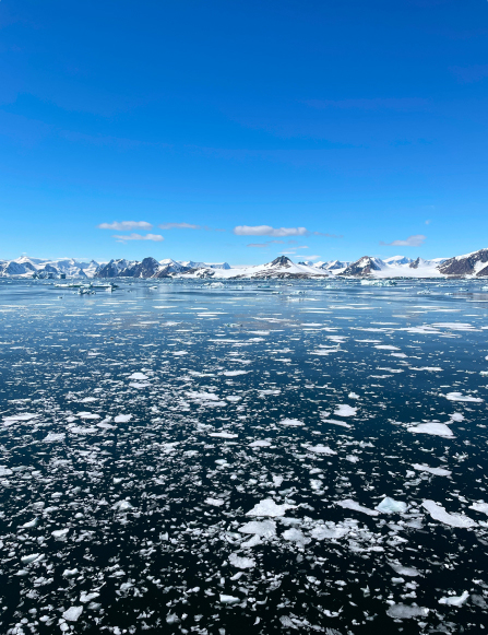
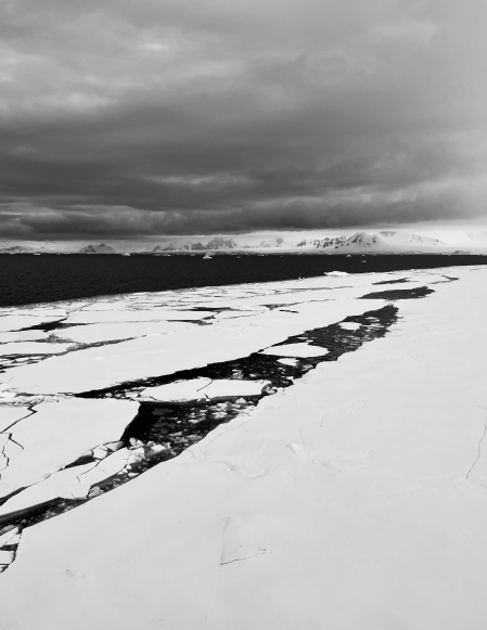
Voyages to the Antarctic Peninsula are increasing and ships are becoming more resilient; it’s easy to forget that you are still in a very remote and hostile environment, far from help. Too quickly you can become complacent. However, the conversations on the bridge are a constant discussion on the changing weather and ice conditions. Multiple weather and ocean forecasts are continually checked and compared, and navigation routes modified accordingly. Landing sites for these expeditions are selected months ahead of time but are frequently changed at the last minute in response to the most up to date forecasts. A mindset of sticking to Plan A whatever happens is simply not realistic; we need Plan B, C, D and E. If the winds are too strong, then we need to find shelter in one of the bays. But if we stay at anchor for too long, then the winds out at sea will blow the sea ice into the bay and we risk becoming trapped (Figure 4). Even though the ship is ice-strengthened, it is not an ice breaker. Eventually we reached the edge of the fast ice, the solid sea ice attached to the land, at a latitude of 68’ 40’ S and we could go no further (Figure 5).
“Often we must sail at night to cover the distances needed to remain on schedule or to evade weather fronts, and that introduces substantial risk associated with iceberg collisions at open water speeds. As well as radar systems, there are crew on shift 24/7 keeping watch for ice.”
I remember night time watches from my previous expeditions on the yacht and I know how difficult it can be to spot ice in the dark until almost too late. All this decision-making goes on firmly behind the scenes, but it never stops. The risk never goes away, but it is understood and managed. Decisions are underpinned by data and experience, in the same way as I approach risk whenever I work on and around active volcanoes. The risk simply comes in a different form.
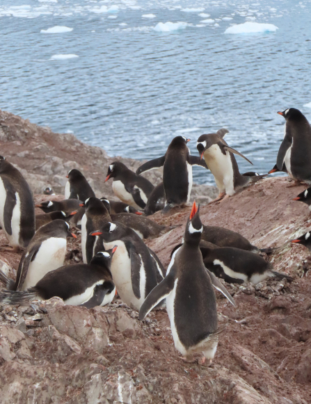
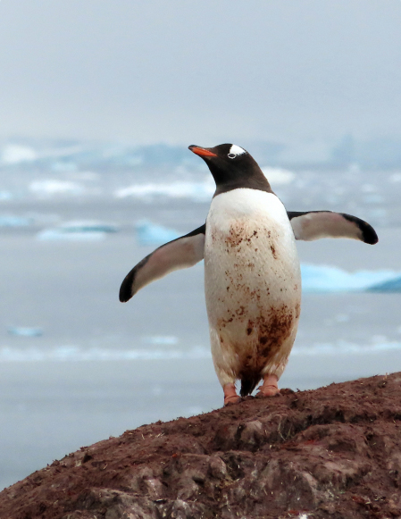
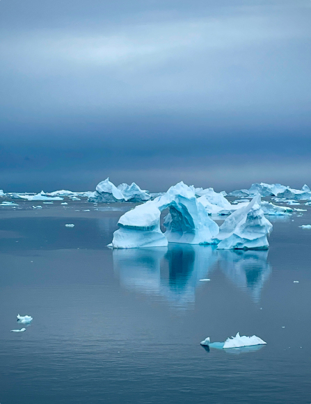
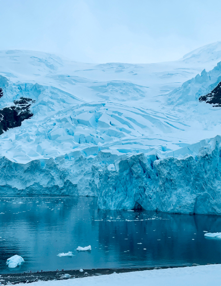
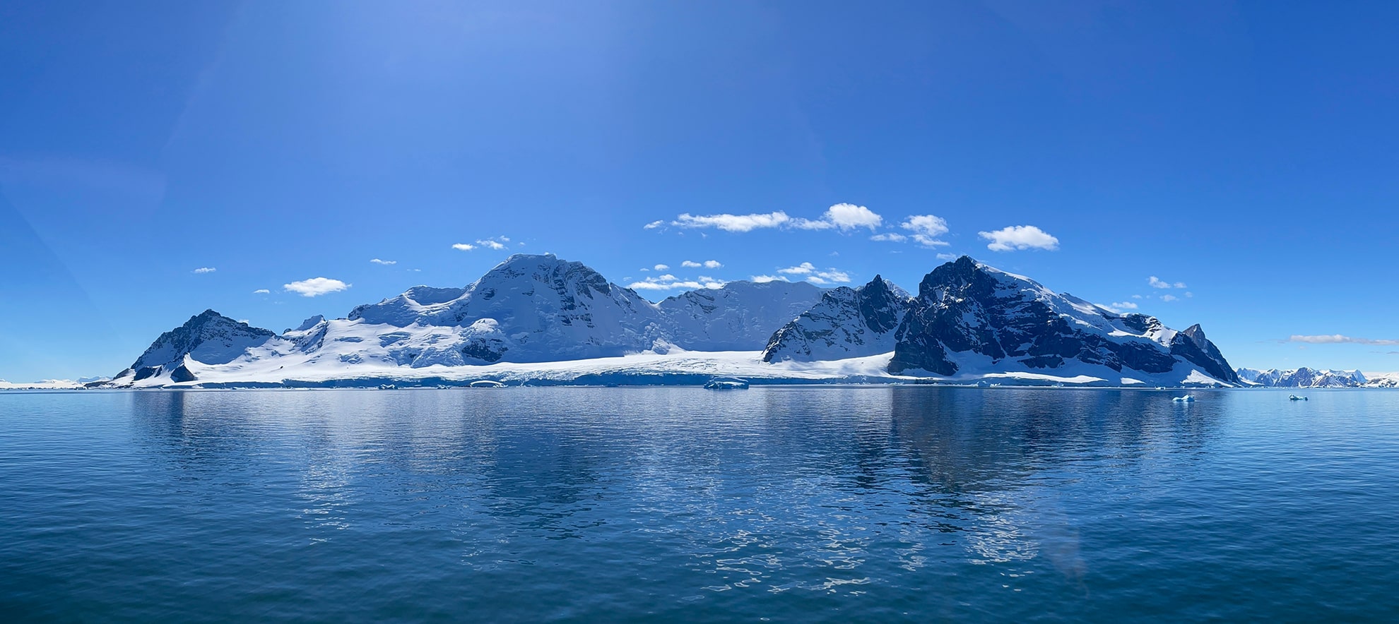
The aspect of the Antarctic that struck me the most was the stillness. It often felt as though the world was frozen in time. It was also one of the few places I have felt true silence – and I use the verb ‘felt’ intentionally. Silence that absolutely feels like it wraps around you and holds you. However, time cannot be frozen forever and this pristine natural wilderness (Figure 6, 7) is not beyond the reach of the impacts that human activities are having on our planet. The climate is warming; sea temperatures are rising leading to ice forming later and melting earlier; air and land pollution are becoming apparent. Year on year, this unique place is changing beyond all recognition and one day may exist only in memory. These are the same changes in climate that are re-writing our global risk landscape.
Now back at UCL, I will be analysing the air samples collected over the next couple of months. To do this I will slowly leach the air filters first in water and then in a sequence of acids, including nitric acid and hydrogen fluoride, before analysing these extracted solutions using a mass spectrometer. The data collected on this expedition will feed into the wealth of research quantifying the changing climate and environment of the Antarctic and the timescales over which this is taking place. In particular, our results will be shared with IAATO, the regulating body for Antarctic tourism, to inform their ongoing work designing policies to mitigate the environmental impact of tourism and to encourage their buy-in to expand this research programme to vessels across a range of affiliated operators. An accurate picture of the current background trace element composition of the Antarctic atmosphere, and how this varies in response to short-term climate modes, will also prove crucial to identifying volcanic eruptions preserved in ice cores moving forwards.

 An update from our Risk Ambassador Dr Emma Nicholson